
Strengthens Flood Risk Management Cooperation in the Danube Basin
GWP CEE Secretariat News
")
Category: Climate, Transboundary, SDGs
Target Group: Water authorities, researchers, policymakers, river basin organisations, and technical experts
Main Partners: Global Water Partnership Central and Eastern Europe, national water authorities, EUSDR Priority Area 5, universities, international river basin organisations
Implementation period: February–March 2026
Project type: Capacity building, knowledge exchange, stakeholder engagement
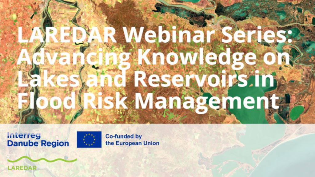
Between February and March 2026, the LAREDAR project delivered a three-part webinar series focused on the role of lakes and reservoirs in flood risk management across the Danube River Basin. Each 90-minute session combined expert presentations and interactive discussions, guiding participants from identifying challenges to exploring practical tools. The first webinar addressed data gaps, coordination challenges, and climate pressures. The second highlighted existing practices and fragmentation across countries. The third demonstrated the LAREDAR GIS tool and its application for decision-making. Around 70–80 participants joined each session, representing authorities, academia, and regional initiatives. Their contributions helped identify priorities such as improved data harmonisation and stronger institutional cooperation.
Water Governance/Impact: The series strengthened transnational knowledge exchange and informed development of the LAREDAR GIS platform, harmonisation manual, and policy recommendations, supporting evidence-based flood risk management across the region.
Lern more about project: LAREDAR | LAREDAR